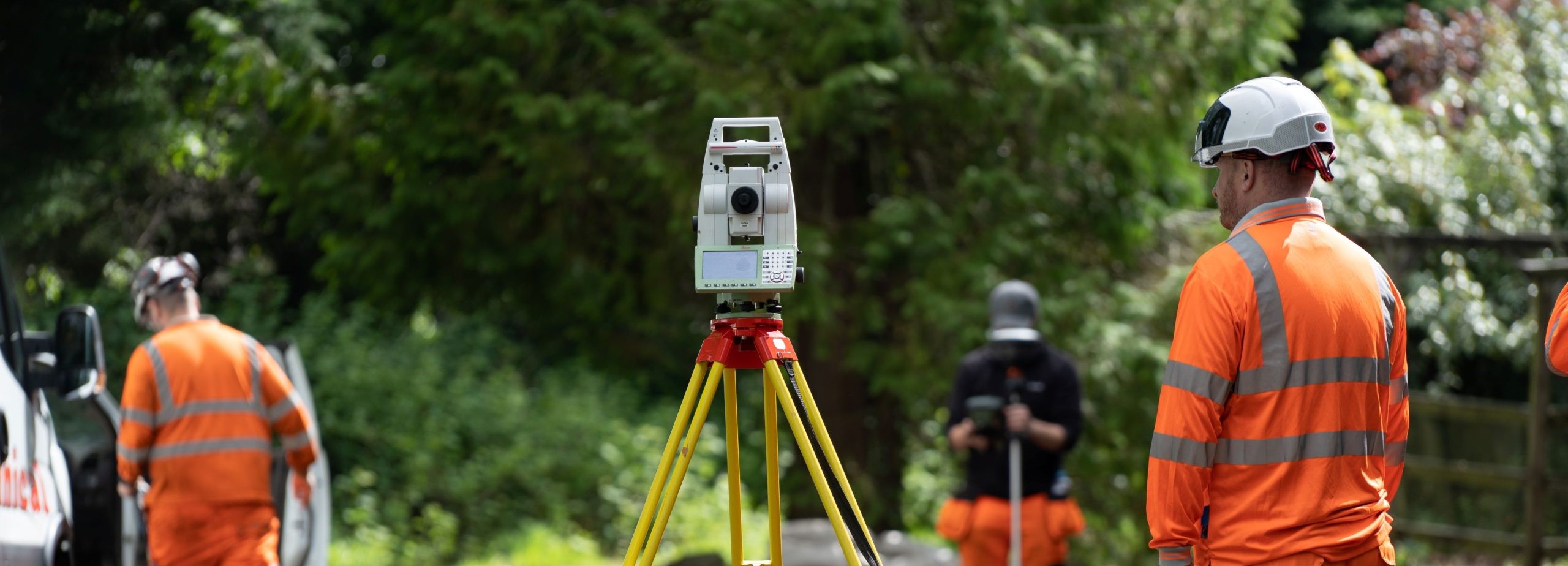
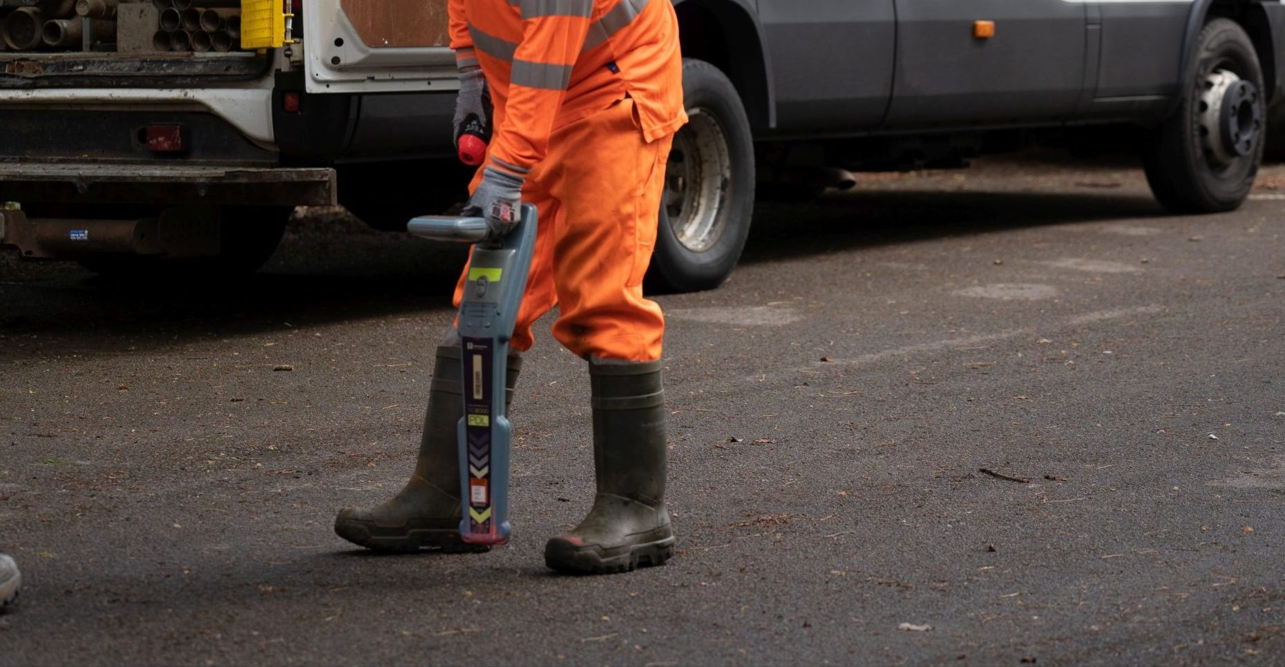
What We Do

Utility Surveys

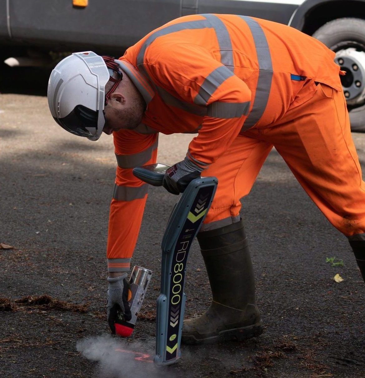
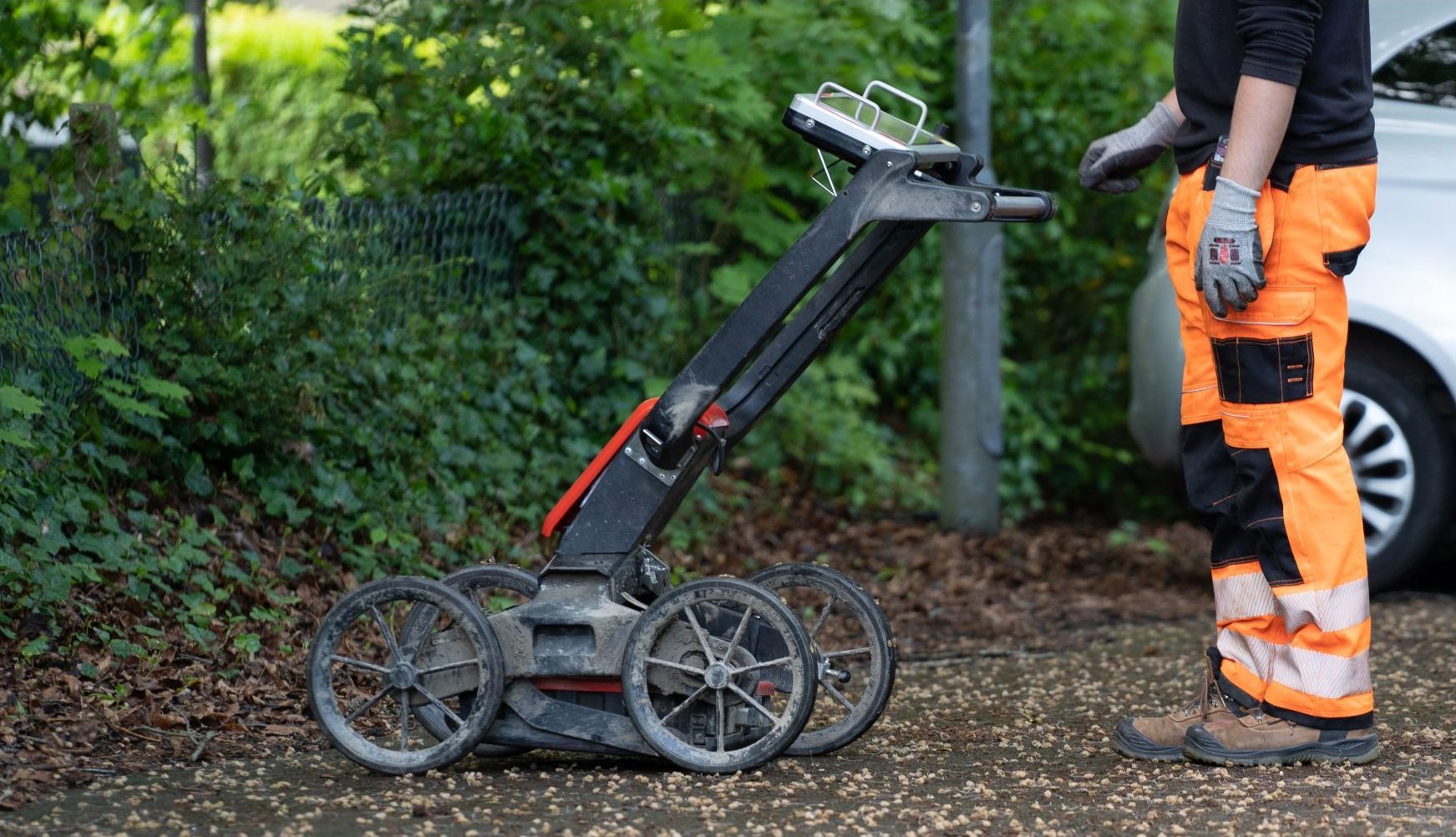
Geospatial Engineering provides comprehensive utility surveying services, providing PAS128 utility surveying to the construction industry.

We accurately identify and map underground apparatus and services in accordance with PAS128, the BSI specification for underground utility surveys. By commissioning our utility surveying services, our clients can be confident that their approach to risk management is based on high quality, precision data.

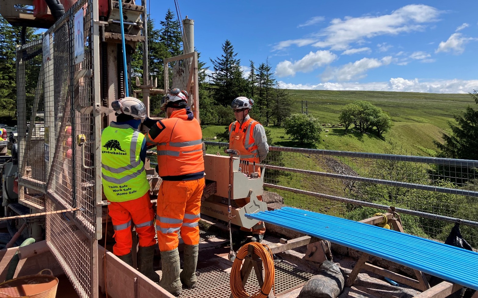
Geospatial Engineering provides the full range of PAS128 utility surveys, including:

Quality Level D: Desk top utility records search

Quality level C: Site reconnaissance

Quality level B: Detection

Quality Level A: Verification


Geospatial Surveying team carrying out a utility survey.

Geospatial Engineering has conducted complex surveys in some of UKs most congested utility environments, such as wastewater treatment works, urban environments, and petrol forecourts. Our experienced surveyors can offer advice and guidance to tailor our approach to the specific requirements of each individual project.

Get in touch with us

Latest Projects

Rampion 2 Offshore Wind Farm: Onshore Ground and Site Investigation Surveys

The Rampion 2 proposed onshore export cable corridor route will continue from the new onshore substation at Oakendene substation to the existing National Grid Bolney Substation, a length of 38.8km.

Read More

Grwyne Fawr Reservoir

Grwyne Fawr dam, located in the Grwyne Fawr Valley of the Brecon Beacons National Park, was constructed between 1912 and 1926, with the aim of providing a consistent water supply to the county of Monmouthshire...

Read More

Contact us

Centurion House, Olympus Park, Quedgeley, Gloucester GL2 4NF

Jactin House, 24 Hood Street, Ancoats, Manchester, M4 6WX

Send us a message