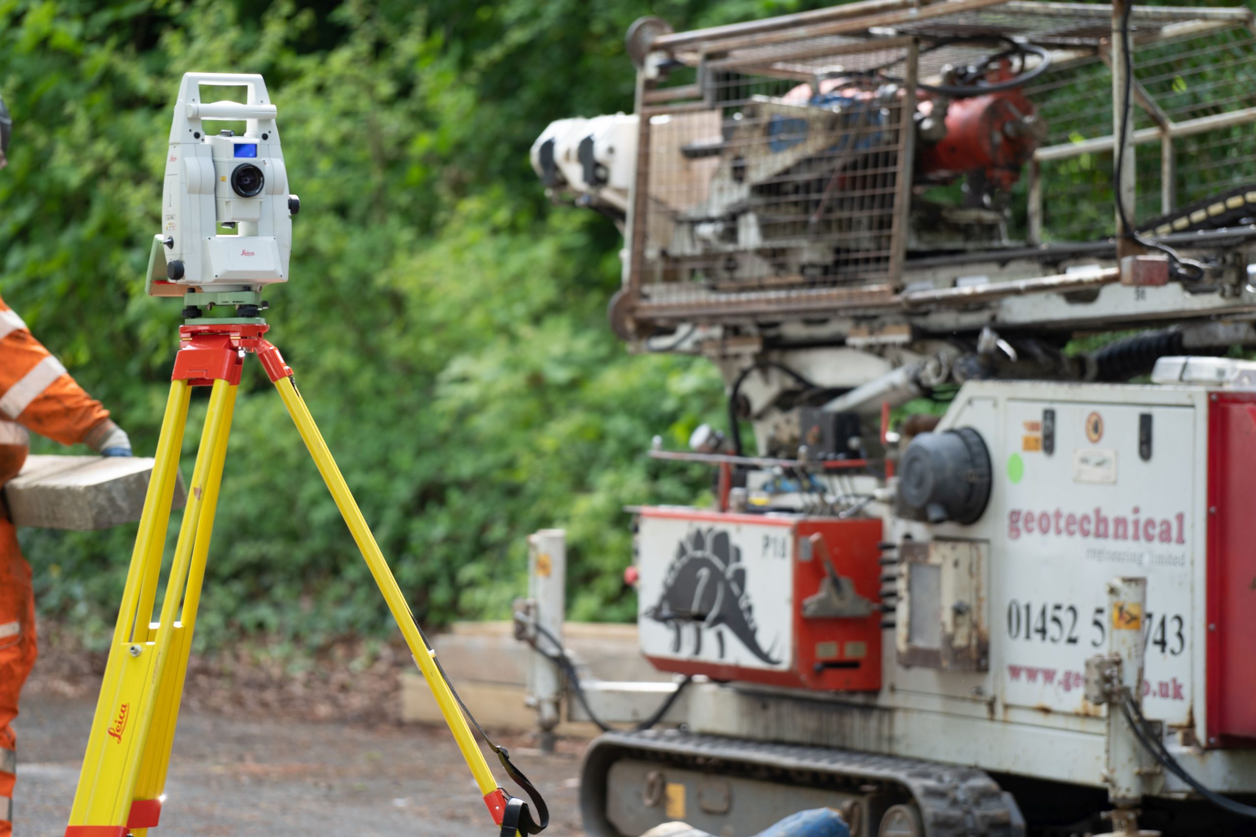
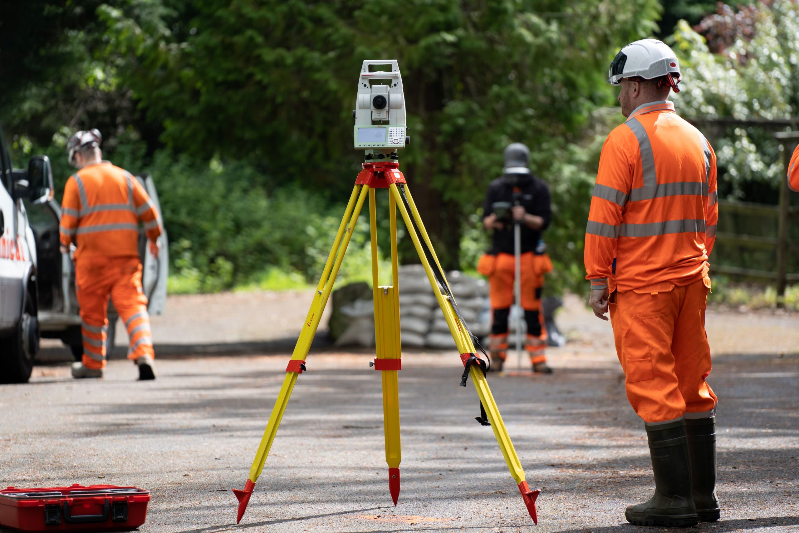
What We Do
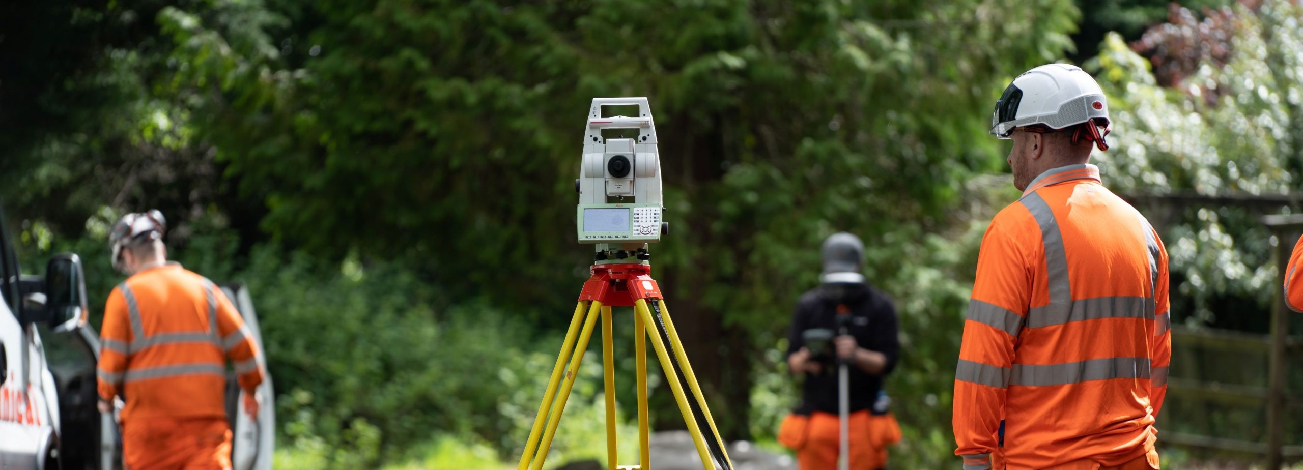
Topographical surveys are an integral part of any development project. They are an accurate depiction of a site (property, area of land, defined boundary) which is scaled and details to show all natural and manmade features and their levels.
Our Topographical Surveyors use the latest survey equipment from reflectorless robotic total stations to mobile laser scanning to deliver 2D and 3D formatted data, providing our clients accurate survey information. Our topographical surveys are conducted to RICS standards and guidance or to client specific requirements.
Geospatial Engineering has delivered significant topographical surveying projects on a broad range of construction sectors, such as on renewable energy projects, power transmission development and commercial schemes. Our approach of combining multiple techniques to suit the environment encountered ensures our client receive accurate data faster than ever before. Our experienced surveyors can offer advice and guidance to tailor our approach to the specific requirements of each individual project.
Get in touch with us
Grwyne Fawr dam, located in the Grwyne Fawr Valley of the Brecon Beacons National Park, was constructed between 1912 and 1926, with the aim of providing a consistent water supply to the county of Monmouthshire...
Read More
Intrusive ground investigation techniques were required to provide a detailed investigation of the geotechnical & the hydrological characteristics of the underlying material to inform the design and construction of a new large diameter water pipe installation and monitoring…
Read MoreCenturion House, Olympus Park, Quedgeley, Gloucester GL2 4NF
Jactin House, 24 Hood Street, Ancoats, Manchester, M4 6WX