Uxbridge Moor Substation
Ground Investigation for Proposed Substation
Client: National Grid Engineer: Jacobs Timeframe: 3 weeks Location: Uxbridge Moor Substation, Buckinghamshire
 THE PROJECT
National Grid is required to construct power transmission infrastructure to meet local connection demand in the Iver area. Given the limited room for additional equipment at the existing Iver substation, a new substation location has been proposed by National Grid in the agricultural fields adjacent.
As part of the data collection surveys to inform the design of the development of the new Uxbridge Moor substation, a ground investigation was required to provide information to assess the geotechnical, geo-environmental, geological and hydrogeological ground conditions at the proposed location.
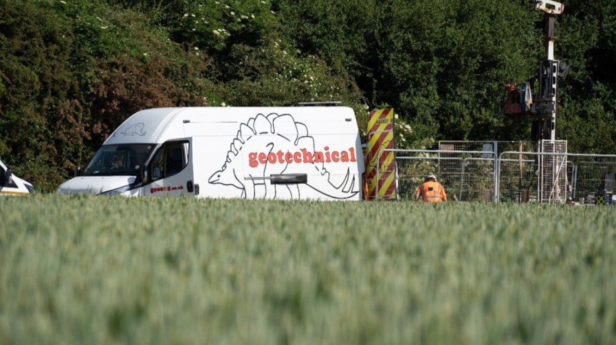
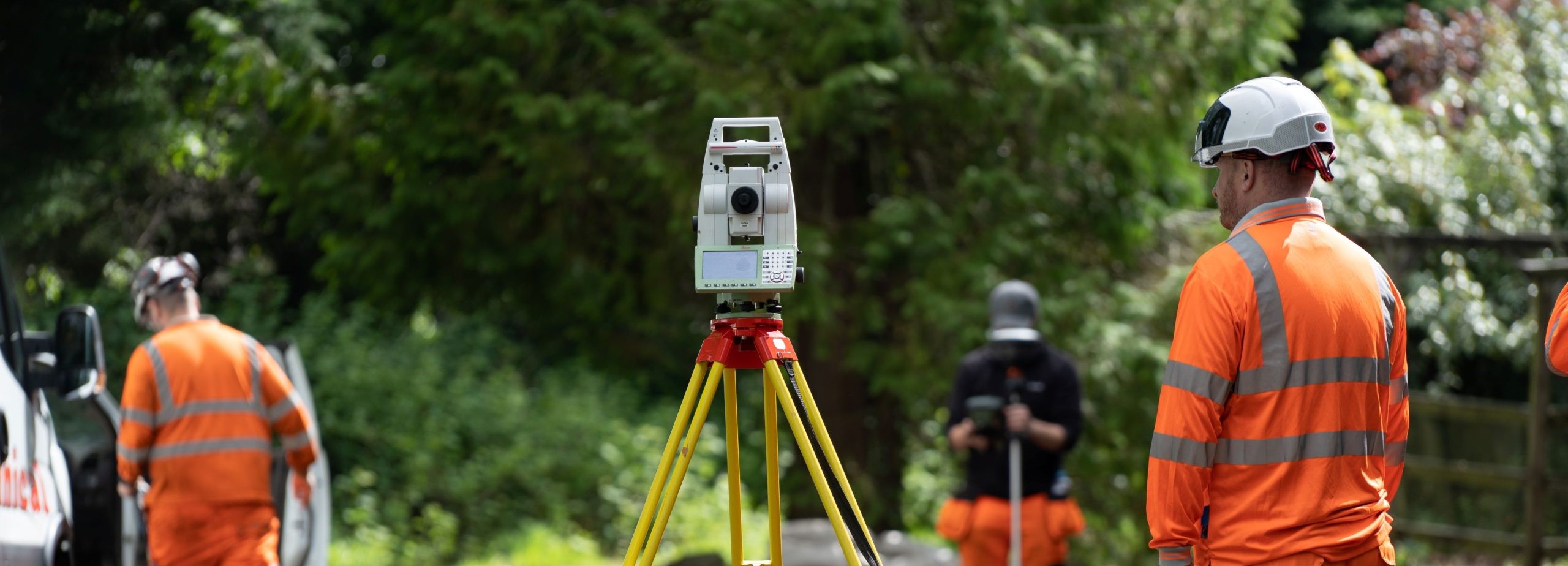
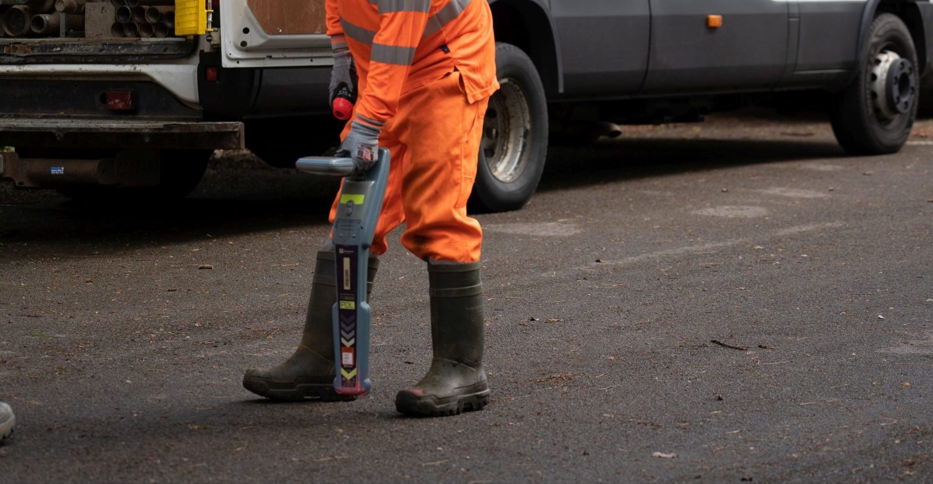
Geotechnical Engineering Limited (GEL) was appointed by Jacobs to undertake a programme of rotary drilling works and trial pitting, soakaway testing, and thermal resistivity testing.
Jacobs was engaged by National Grid to fulfil the role as the Consultant Engineer and Principal Contractor on the project to specify the ground investigation scope and complete the subsequent design. GEL was engaged by Jacobs to undertake a programme of ground investigation for the recovery of representative samples and the installation of long-term ground water monitoring equipment.
THE CHALLENGE
Acquiring the proposed geotechnical and geoenvironmental data to aid design was likely to prove logistically challenging given the non-secure, agricultural environment to be encountered. Minimising the damage to the underfoot conditions was a critical aspect of the scheme, to mitigate any long-term impact to the landowners and cost to the client. Extensive periods of inclement weather further added to the challenge, immediately prior to the commencement of the site works. Given the proximity to Iver Substation, high voltage overhead cabling was present in proximity to a significant quantity of the exploratory positions.
THE SOLUTION
To ensure all stakeholders were informed and the scope and quantity of equipment to be used was understood, significant engagement between the landowner, tenant farmer and consultant was undertaken prior to the mobilisation of staff and equipment to site. Regular progress meetings were utilised as a conduit to portray the project progress, sequencing of the works and any changes to the programme order to all stakeholders. Arrangements were made by the client for a member of the tenant farmer’s team to be present during the works to assist with accessing the site, managing the livestock movements, and providing local knowledge of suitable access routes.
To overcome the challenging access constraints, additional support resource in the form of an operated tractor and 10,000 litre water bowser, alongside an operated all terrain telehandler were provided for the duration of the works. This allowance was critical to the timely delivery of the project deliverables, allowing our highly qualified drilling staff to focus solely on the ground investigation activities, and allow ancillary support activities to be completed without delaying the project programme. Utilising mechanical aids to mobilise heavy drilling equipment to and between each exploratory location across rough ground also reduced the risk of manual handling related injuries.
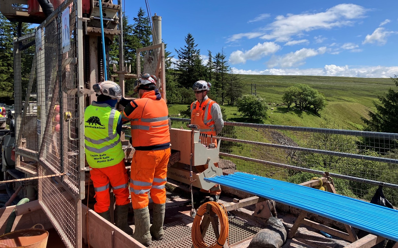
 After overcoming the access challenges associated with the site, nine exploratory boreholes were completed using a Comacchio GEO 305 (Pioneer) multipurpose drilling rig. A range of drilling techniques including dynamic sampling, and rotary coring with biodegradable polymer flush media were utilised. The boreholes were advanced to the target depths of between 8.65m and 10.05m, encountering superficial deposits of alluvium and gravels, overlying London Clay.
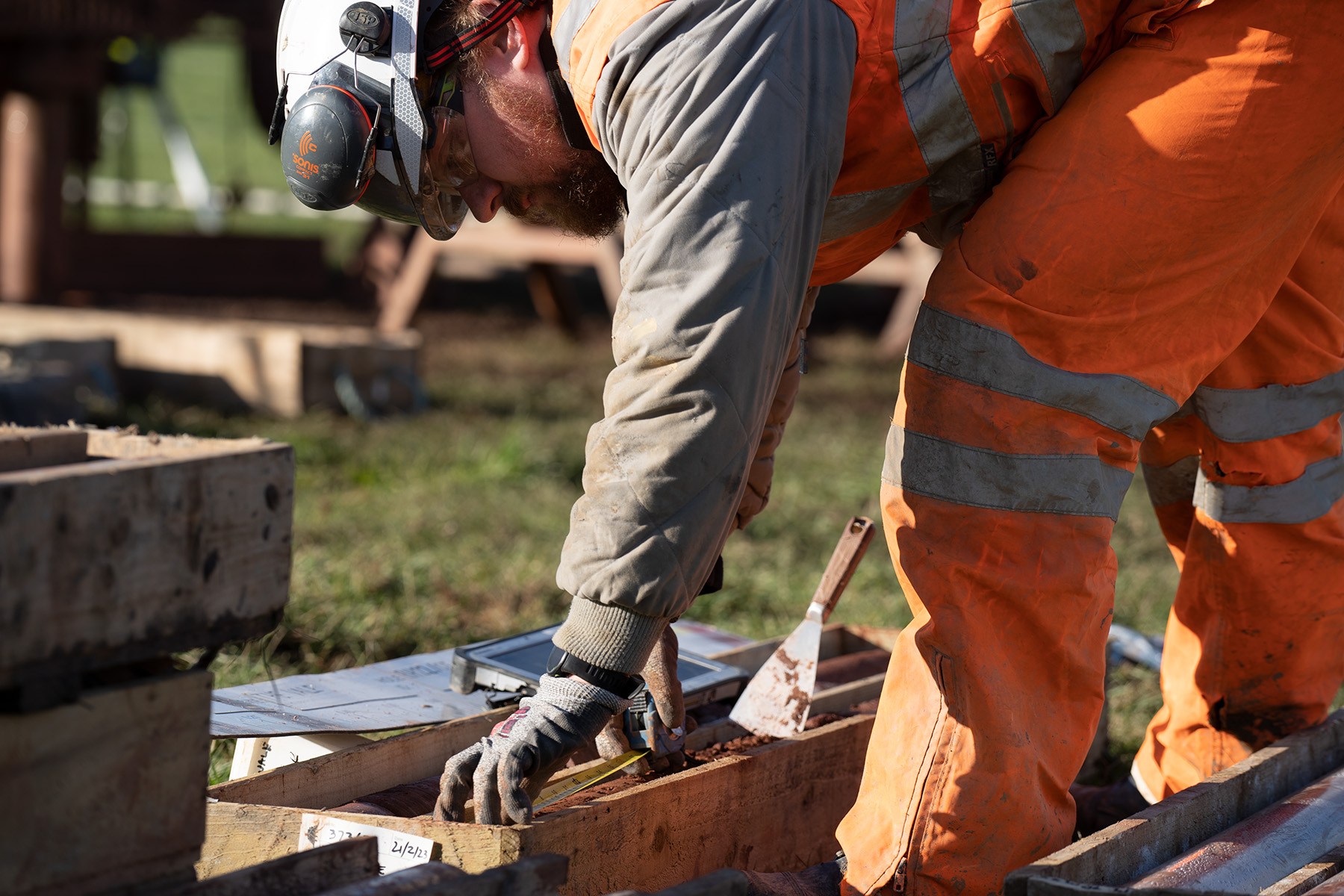
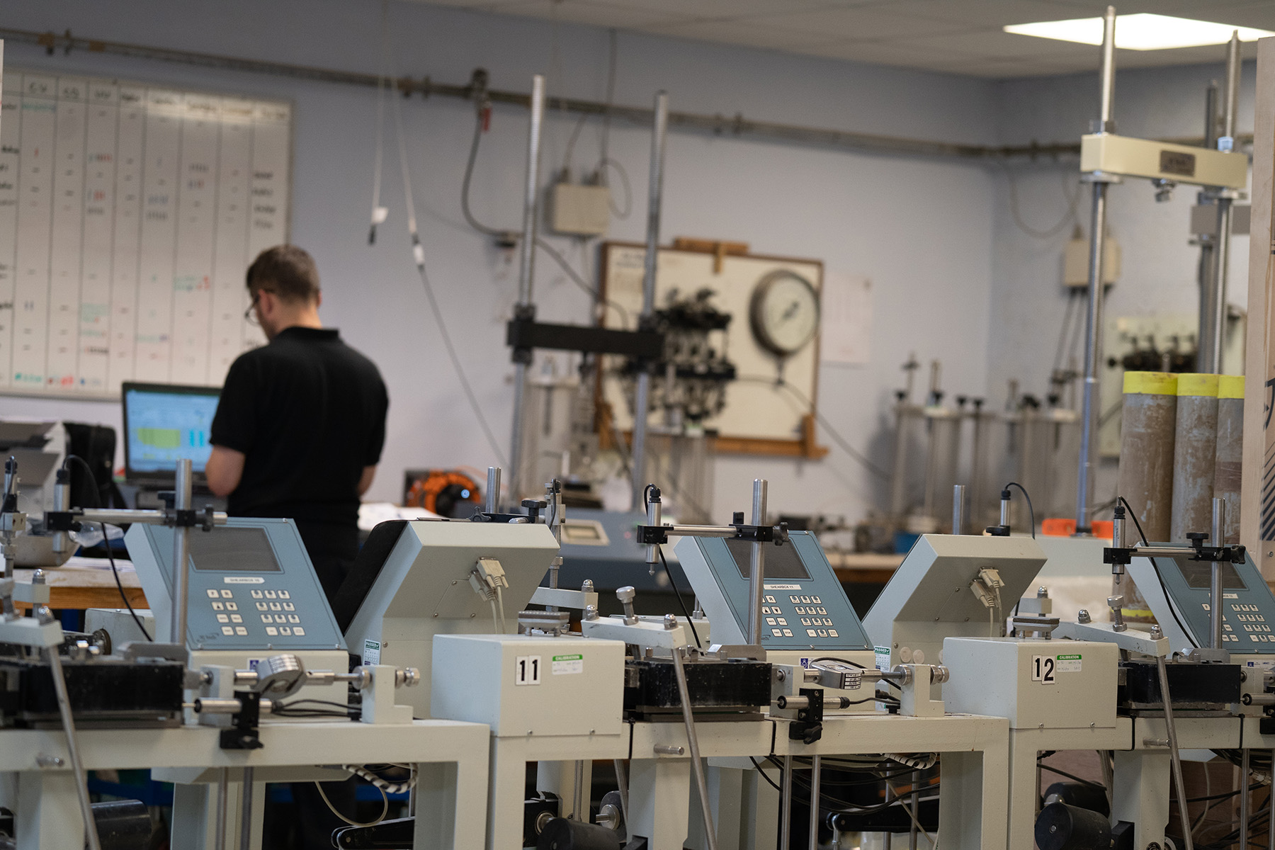
Geotechnical Laboratory testing (geotechnical and geoenvironmental) was undertaken by GEL and incorporated within a factual report along with the borehole and trial pit logs and thermal resistivity testing results.
Maintaining statutory distances from the high voltage overhead lines was essential to ensure the safety of our staff during the works. During the initial planning of the works, borehole and excavations positions were adjusted to ensure that the exclusion zones as required by the Energy Networks Association and GS6 guidance note ‘Avoiding danger from overhead power lines’ were adhered to at all times, documented in the safe system of work and communicated effectively to site staff.