A470 Nantgarw Anchors
A challenging access ground investigation for ongoing asset management
Client: Knights Brown/ South Wales Trunk Road Agency Engineer: Atkins Timeframe: 3 weeks Location: Nantgarw, Cardiff
 THE PROJECT
The carriageway of the A470 trunk road near Nantgarw has historically suffered from surface defects associated with the horizontal and vertical movement of the earthwork embankments. Historical remedial measures such as rockfill embankments, constructed at the time of the A470 dualling upgrades, have had little effect on increasing the stability of the slope.
Ground investigations and monitoring installations completed in 1976 confirmed the presence of deep slip planes beneath the slope with a variety of till material overlying bedrock strata, further adding to stability concerns. In 1979 a rock anchored earth retaining structure was constructed to mitigate additional movement.
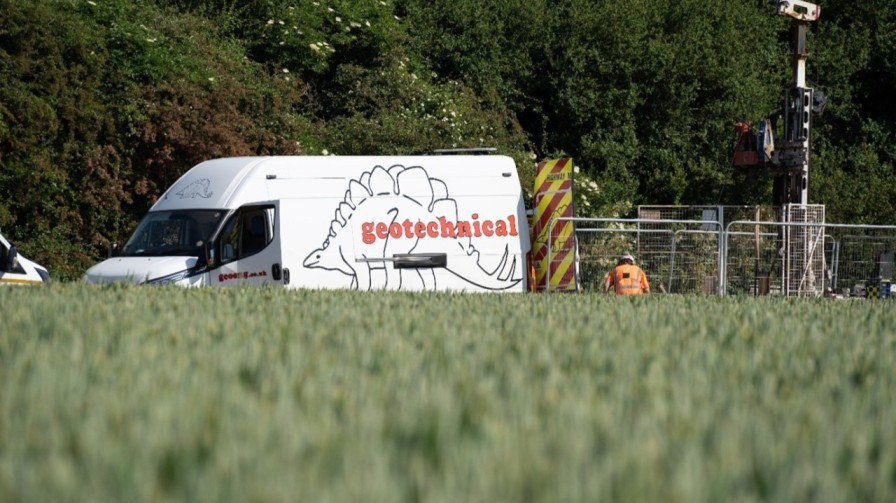
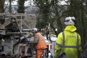
Atkins were engaged by the South Wales Trunk Road Agent, to fulfill the role as the Consultant Engineer on the project to monitor the effectiveness of the structure against further slope movement. Knights Brown were appointed as the Principal Contractor for future maintenance and re-stressing of the rock anchors. Geotechnical Engineering were engaged by Atkins and Knights Brown to undertake a programme of rotary drilling works for sample recovery and installation of long-term monitoring equipment to collect future slope stability data.
THE CHALLENGE
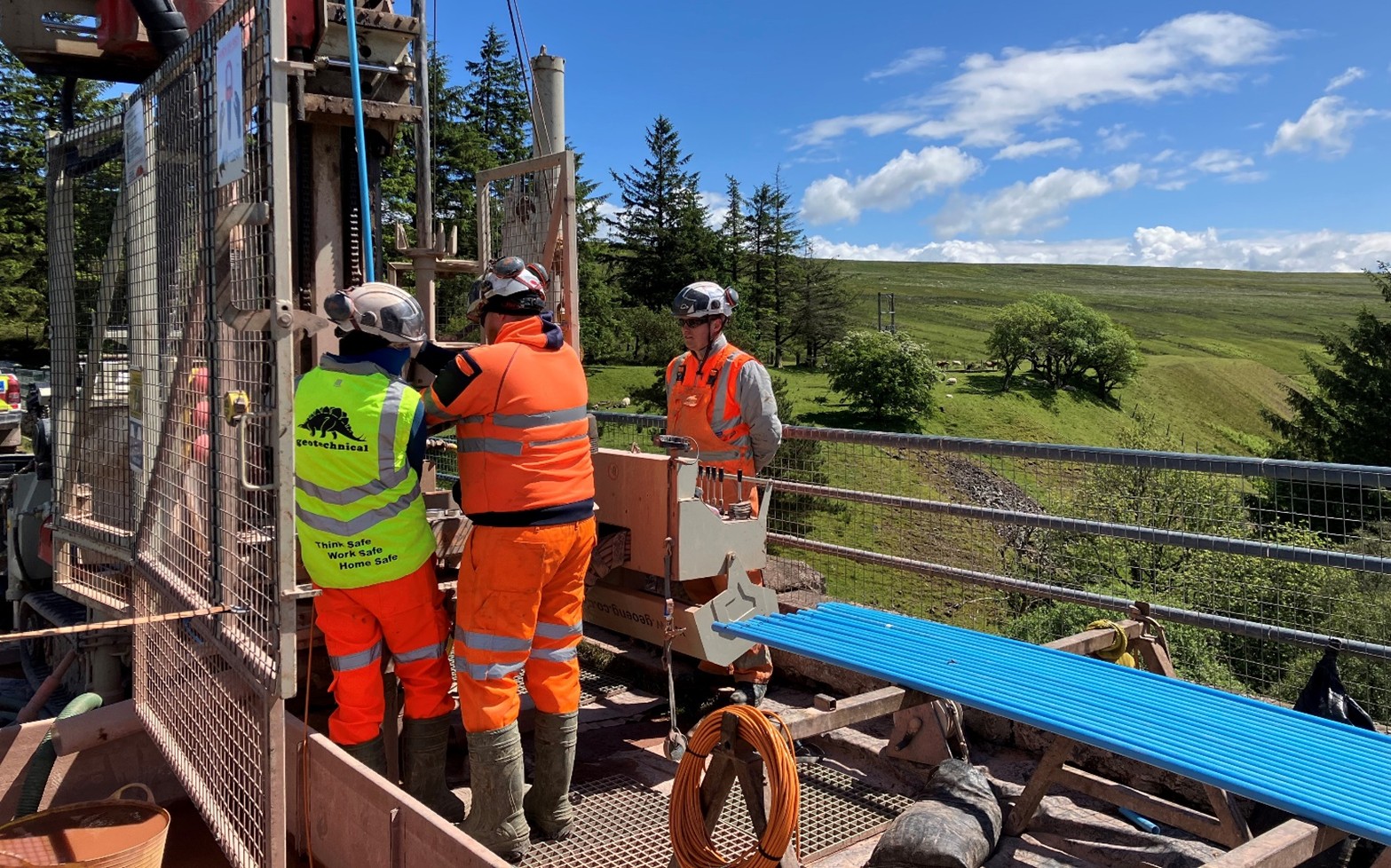
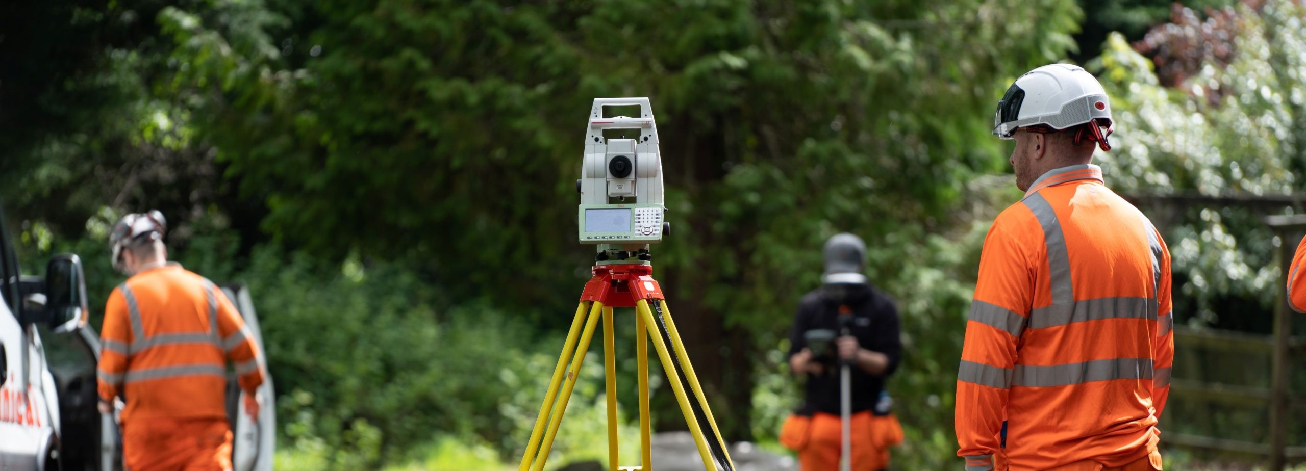
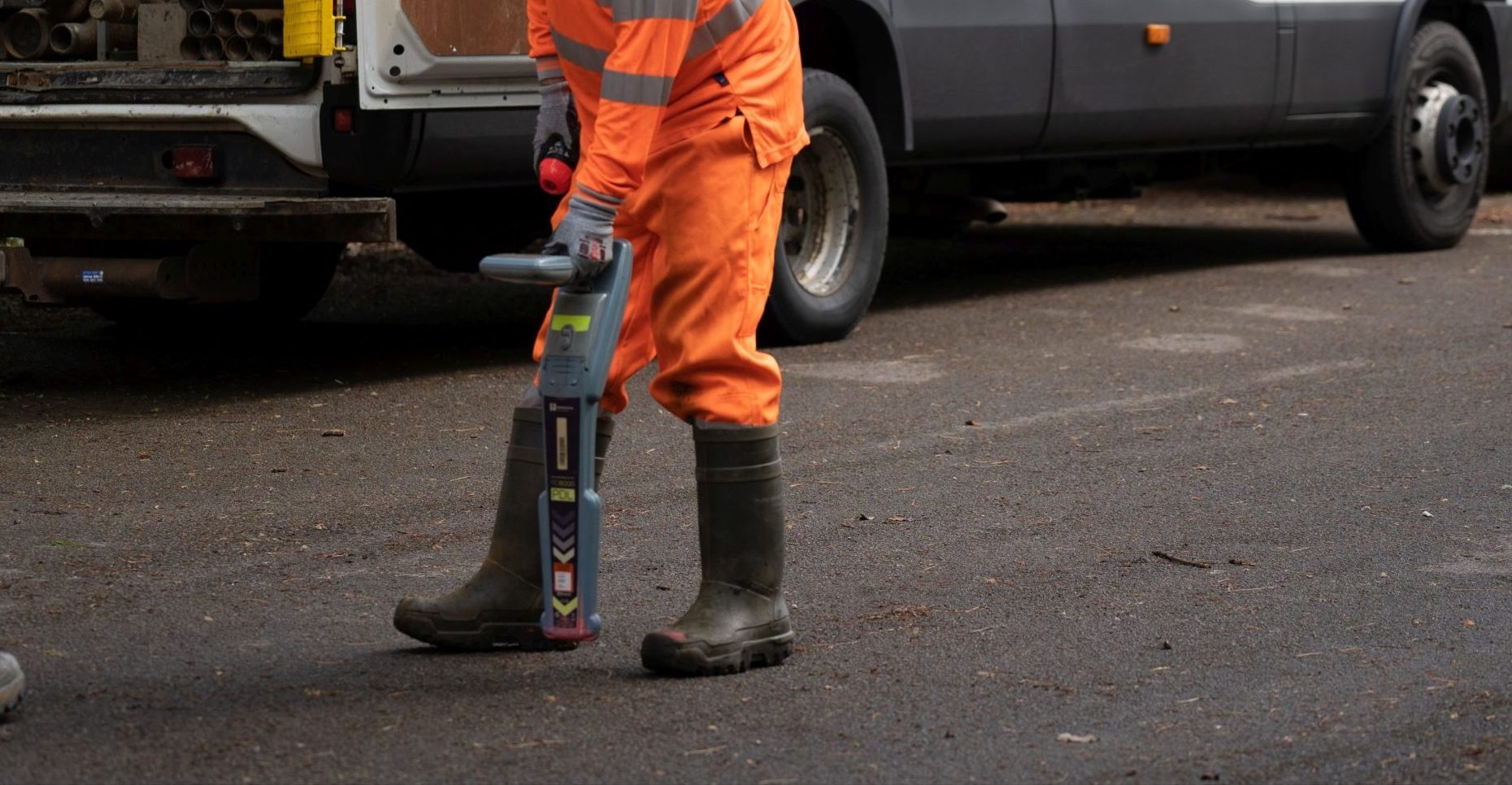
Access to the specified exploratory locations was the most challenging aspect of the ground investigation. The site is located on a steep earthwork embankment located between the A470 and A4054, with no vehicular or plant access available. The site was also heavily vegetated with large mature trees and Japanese knotweed being present in the area of proposed investigation. A medium pressure gas main dissected the site, running perpendicular to the slope.
 THE SOLUTION
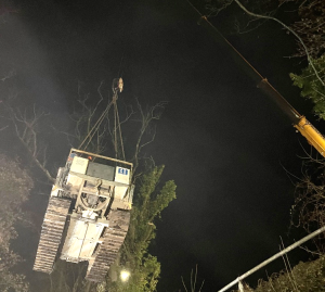
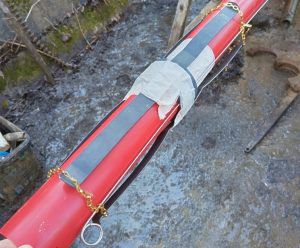
It was clear from the initial site reconnaissance visits that the drilling equipment would need to be lifted into position to allow access. Vegetation clearance works were completed prior to the mobilisation of drilling equipment to ensure the site could be accessed safely. Contract lifts, using a 55T crane were undertaken during nighttime closures of the A470 carriageway to minimise the impact of the works on road usersWash down facilities were utilised to mitigate the spread of the Japanese knotweed, with all plant and equipment being washed doing prior to its removal from site.
The exploratory positions were located to take into consideration the statutory stand off from the medium pressure gas main.
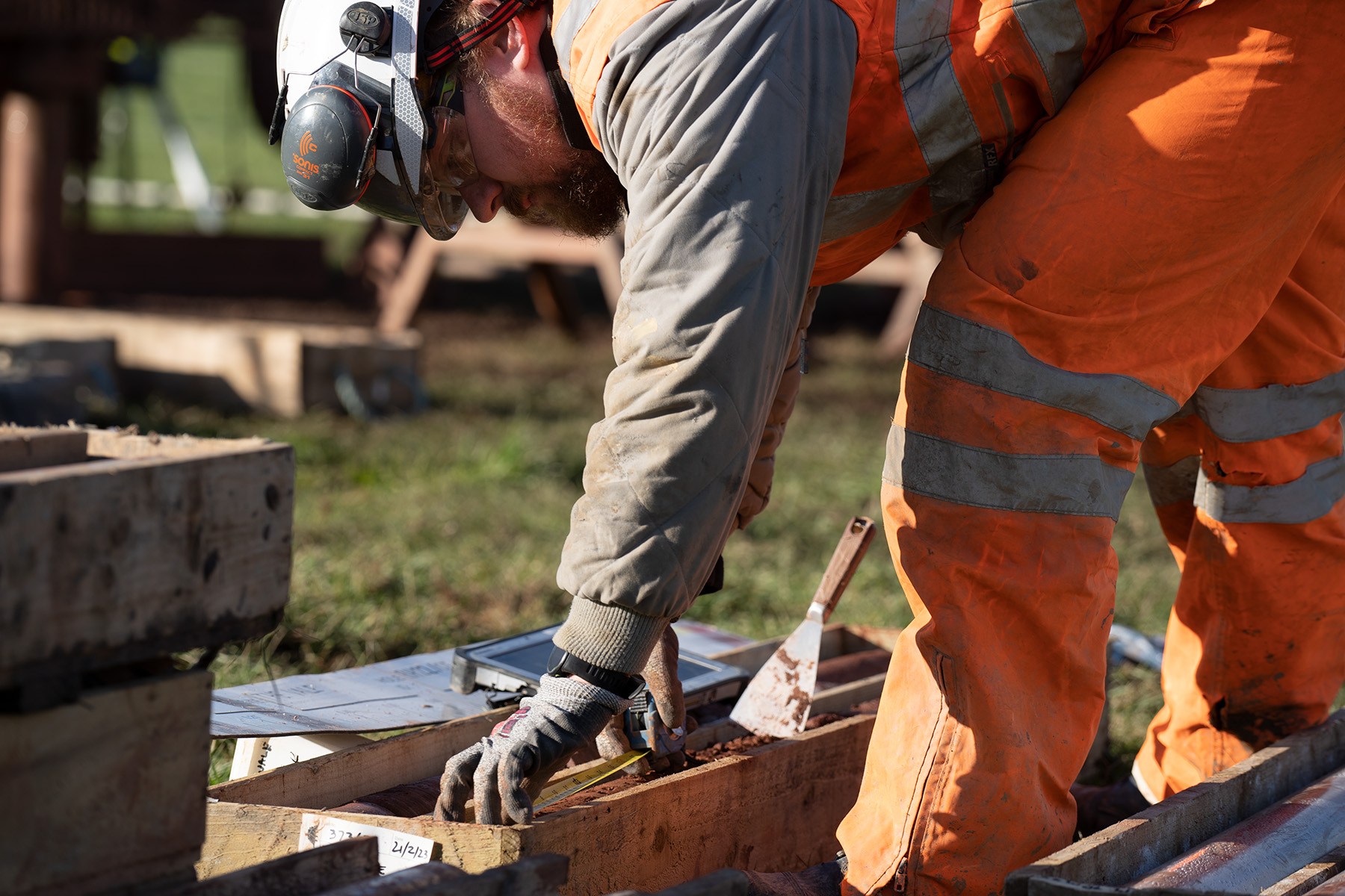
After overcoming the access challenges of the site, five exploratory boreholes were completed utilising a Comacchio GEO 305 (Pioneer) multi-purpose drilling rig. Prior to reaching the bedrock strata of the Pennant Sandstone and South Wales Coal Measure Formations, Made Ground associated with the construction of the rock anchored retaining structure as well as Glaciofluvial and Glacial Till superficial deposits were encountered.
A range of drilling techniques including dynamic sampling, rotary coring with biodegradable polymer flush media and rotary open holing were utilised. The boreholes were advanced to the target depths of between 12.00 and 16.00 m bgl as specified by the Consultant Engineer. Continuous gas monitoring, as well as the use of biodegradable polymer/ water flush were required to comply with The Coal Authority ‘Permit to Enter or Disturb Coal Authority Interests’. Spark arrestors and Chalwyn valves are also integrated into drilling equipment in line with Geotechnical Engineerings procedures for sites where there is risk of flammable gases.
Published geological mapping showed that several faults and other linear features were expected to run through the site; this was confirmed by the variability in stratigraphy witnessed between exploratory hole locations.
 As future monitoring of the slope and remedial measures were the key focus of the investigation, a range of monitoring equipment was installed into each exploratory hole. Dual inclinometer and “spider” magnet extensometers were installed in four boreholes, set in a cement/bentonite grout mix, thus providing the opportunity for ongoing three-dimensional monitoring of slope movements. Two exploratory holes were also fitted with dual vibrating wire piezometers, using a fully grouted method along with the installation of secure electronic data loggers. By installing multiple pieces of monitoring apparatus within each exploratory hole, we were able to maximise the value of the investigation to the Client. Similarly, the retrofitting of four micro vibrating wire piezometers into two of the 19mm diameter boreholes installations from the original 1976 investigation maximised the value of the existing geotechnical assets. These additional installations were connected to secure multi-channel data loggers to allow for continuous data collection by the Consultant Engineer.