Outer Dowsing Offshore Wind
Geotechnical Investigation across a 55km route
Client: GT R4 Limited Timeframe: 6 weeks Location: Wash, East Coast of England
THE PROJECT 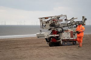
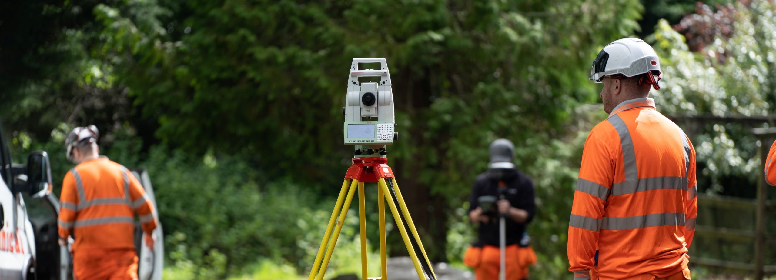
Located on the East Coast of England along Wash northern bank, near Ingoldmells, Skegness and Boston towns. The Ground Investigation was required to determine the ground and groundwater conditions along a 90m wide, 55km proposed cable corridor between landfall location South of Anderby Creek and a connection point at Weston Marsh.
The onshore cables would be installed through a combination of trenching and horizontal directional drilling to cross existing infrastructure assets, a targeted ground investigation was required at multiple sites of interest along the cable route.
GT R4 limited engaged Geotechnical Engineering to fulfil the role of Principal Contractor and Consultant Engineer to undertake a ground investigation and provide design recommendations for design and construction in the form of an interpretive report to aid with the design of the proposed cable route.
THE CHALLENGE
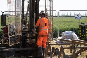
Several challenging environments and constraints were encountered during the delivery of the works across a significant area. Ecological constraints were present in part of the site, as well as operating within cropped agricultural land, beaches and other variable ground conditions.
THE SOLUTION
As the exploratory hole locations spanned 35 miles, to maintain programme we provided supporting operatives and plant to ensure that the rig moves and operations were as efficient as possible. Given the location of the site, it was identified during the planning stage of the works that securing the high value equipment between productive shifts would require additional measures. Armoured remote CCTV equipment was utilised at exploratory locations to provide 360° intruder detection measures, linked to a 24/7 rapid response unit, capable of attending site where required. Using this system not only secured our equipment during the works, but also reduced the risk of trespassing during the works.
To manage the significant landowner engagement that was required to complete the works, GEL provided a full time non-working site agent to assist the clients land agent. To fulfil the contracted requirement of 7 days’ notice prior to accessing each land package, we submitted weekly programmes and chaired weekly progress meetings to ensure frequent communication with our land access partner, for maintain onward communication of our intended fieldwork sequencing and any amendments to the fieldwork programme in a timely fashion.
 An ecological desk study was carried out by the client during the mobilisation period, to understand any ecological constraints. It was identified during the planning phase that ecological constraints were likely to be present across the site, which were accommodated into the programme of works to ensure no delays. The presence of such constraints required the project programme to be adapted to comply with the need to avoid certain areas through the initial phase of site works, to allow for detailed ecological surveys to be completed. The programme also required an element of flexibility, pending the outcome of the surveys, which was managed effectively between the integrated project team.
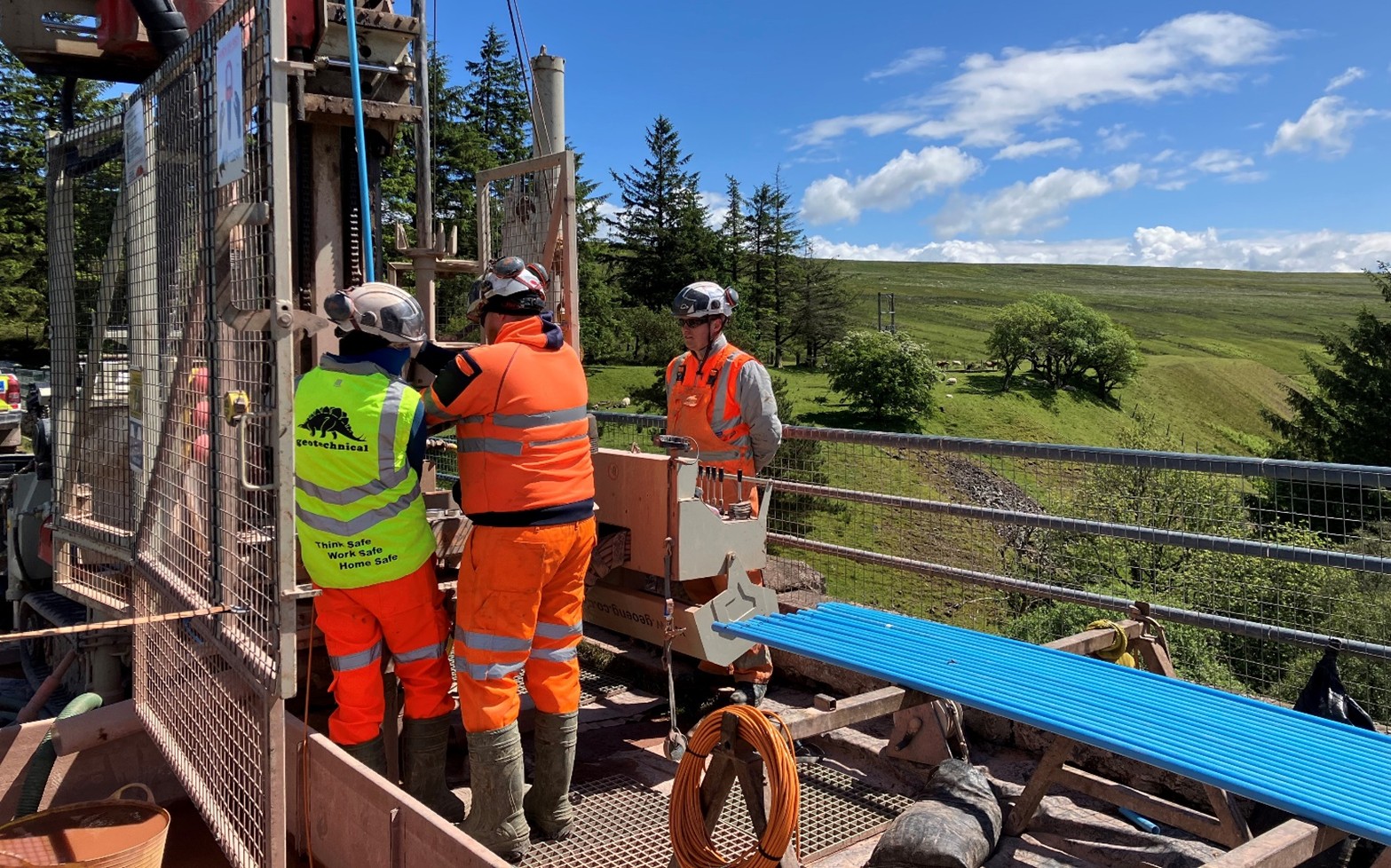
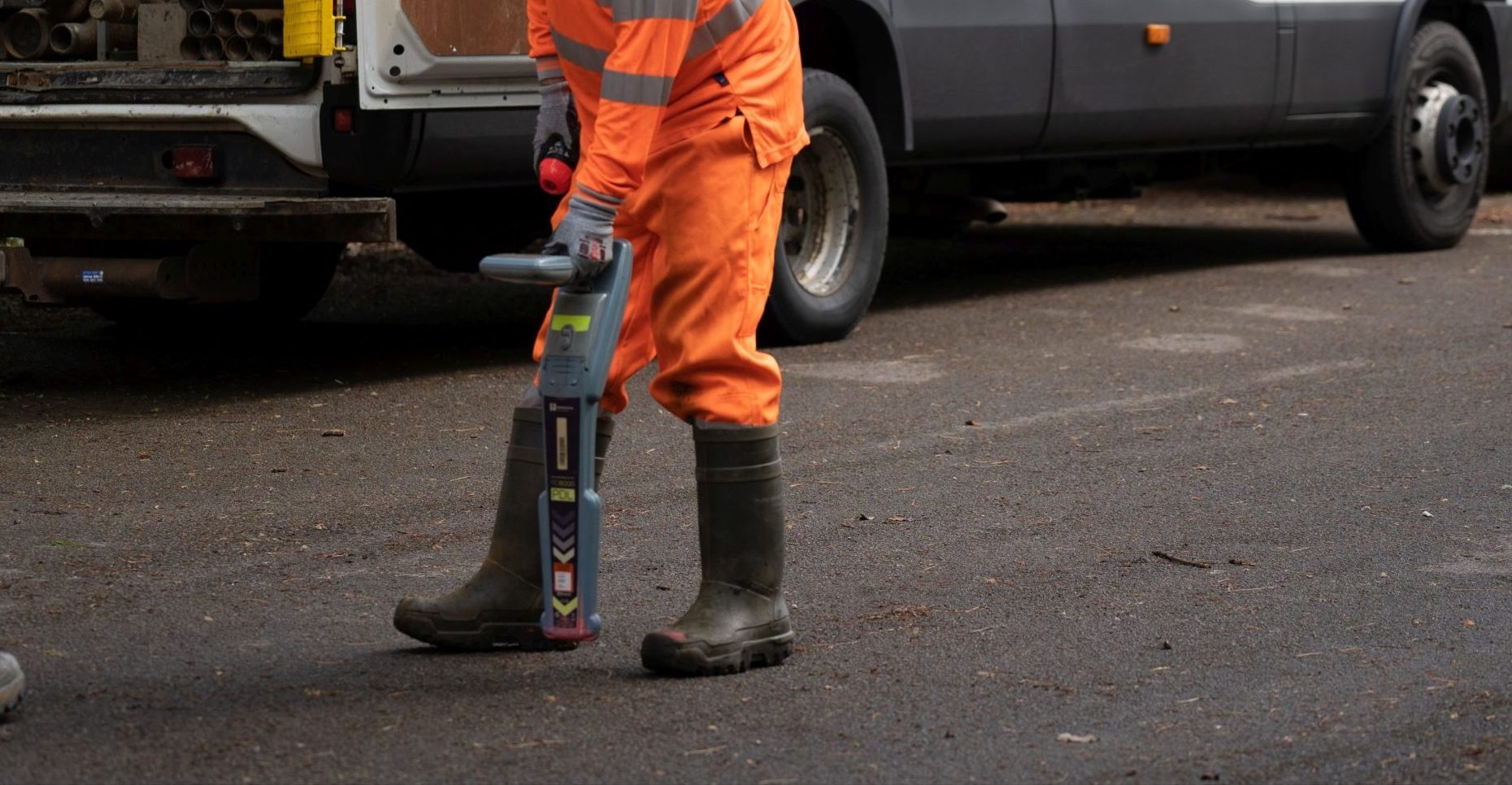
After overcoming the access challenges of the site. A range of drilling techniques including cable percussive drilling, dynamic sampling and rotary coring with biodegradable polymer flush media were utilised, to obtain high quality samples including high volumes of Class 1 subsamples. The boreholes were advanced to the target depths as specified by the client.
The boreholes encountered a range of different geologies that spanned the length of the linear site, from the Burnham Chalk Formation along the east coast to the Oxford Clay Formation west of Boston.
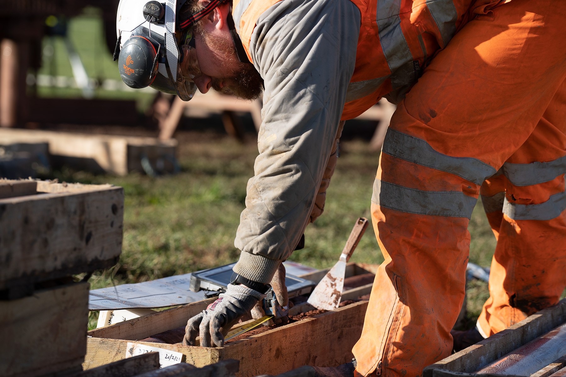
The machine excavated trial pits were sufficiently benched to facilitate in-situ readings of soil temperature, pH, thermal resistivity, and redox potential at specified depths in addition to electrical resistivity by the Wenner Array method at surface.
Water level loggers were installed in the groundwater monitoring standpipes upon completion of selected boreholes to ensure daily groundwater readings and improve efficiencies by reallocating resources that otherwise would be travelling across the site to complete manual readings.