
Utility Surveys
Buried utilities pose a major risk to construction projects, with poor records and inaccurate locations leading to safety incidents, delays and increased costs. Geospatial provides PAS 128‑compliant utility surveys that accurately detect and map underground services, reducing risk and supporting safe, confident project delivery.
Why choose Geospatial for your Utility Survey?
We use the latest surveying technology


What can you expect from a Geospatial Utility Survey?
Experienced professional surveyors and quality‑assured delivery
Our utility surveys are delivered by experienced surveyors with a strong understanding of PAS 128 requirements and industry best practice. Robust quality assurance procedures ensure survey data is accurate, traceable and dependable, giving clients confidence in the information used to manage risk and plan works safely.

Digital Data Capture and BIM‑Ready Delivery
Utility data is captured and managed using modern, cloud‑based digital workflows. This enables fast, efficient delivery of BIM‑ready and CAD‑compatible utility information, improving collaboration, coordination and decision‑making across multidisciplinary project teams.


How does Geospatial manage health and safety on site?
We Think Safe, Work Safe to go Home Safe
By combining our Think Safe, Work Safe, Home Safe behavioural safety programme with an integrated ISO accredited Health and Safety, Quality and Environmental Management System, Geospatial remains compliant with industry best practice and standards, whilst encouraging a proactive safety mindset. Geospatial l is committed to continually improving the workmanship and technical proficiency of our staff to ensure we exceed the expectations of our client on every project.

Frequently Asked Questions
A utility survey is a specialist investigation used to detect, locate and map underground services within a site. These services may include electricity, gas, water, drainage and telecommunications infrastructure. Utility surveys provide accurate and reliable data on the position and depth of buried assets, supporting safe design, planning and construction activities.
Geospatial delivers utility surveys with a strong focus on technical quality, risk management and compliance. Our surveyors are highly experienced in working across complex sites and constrained environments. We apply industry recognised methodologies and robust quality controls to ensure data accuracy and consistency. By maintaining independence and technical integrity, we provide objective information that clients can rely on at every project stage.
Post‑processing enhances raw GPR survey data using specialist software to improve clarity and interpretation. This allows us to identify buried features that may not produce a strong metallic signal, such as plastic pipes, ducts and voids. As a result, utility detection is more comprehensive, reducing uncertainty and improving confidence in the survey outputs, particularly on complex or congested sites.
Accurate knowledge of underground services is critical to reducing risk during design development and construction works. Utility surveys inform safe excavation strategies, support coordination with other disciplines and help avoid service strikes, programme delays and unplanned costs. Early identification of constraints enables more efficient design solutions and improved site safety outcomes.
We are fully accredited
Geotechnical Engineering Ltd holds audited and voluntary accreditations from globally recognised professional bodies, to demonstrate our commitment to upholding the highest technical, health and safety and ethical standards, providing reassurance to our clients.








Projects
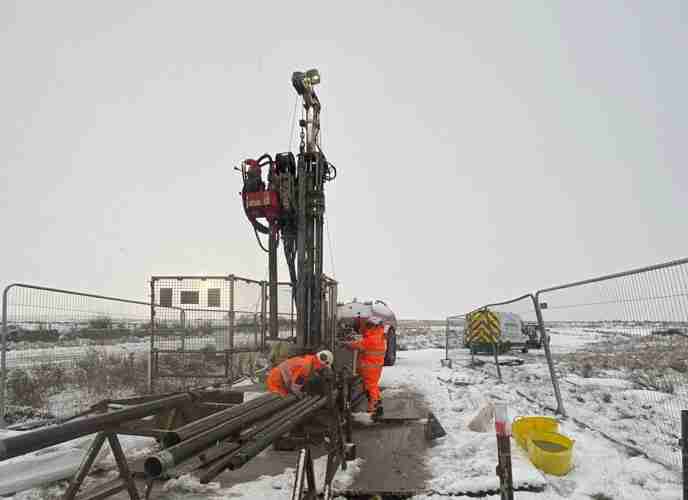
West of Orkney Windfarm

Cropthorne STW Phase 2

Grwyne Fawr Reservoir – Dam Stability Study

The Thorpe Marsh Green Energy Hub: Battery Energy Storage System

50 Fenchurch Street Ground Investigation

Elan Valley Aqueduct – Bath Coppice Tunnels
Find out more about GEL
Discover more about working with us or explore the history and values that guide everything we do.


