
Additional Surveys
Geospatial delivers a comprehensive range of additional survey services using advanced digital capture technologies, providing accurate, design‑ready data to support informed decision‑making across all stages of the project lifecycle.
Why choose Geospatial?
We use the latest surveying technology


Accurate Building Survey information to support design, BIM and construction delivery
A complete survey solution from a single provider

Accurate survey deliverables and efficient data capture
We provide high‑quality survey deliverables across all services, including 3D point clouds, 2D CAD drawings, 3D BIM/Revit models, digital twins and 360‑degree imagery, creating a reliable digital foundation for design, coordination and construction. Using advanced survey technologies and digital data capture methods, we efficiently collect large volumes of accurate geospatial data, even within live or operational environments, reducing disruption, improving programme certainty and ensuring information remains consistent, up‑to‑date and ready for use throughout the project lifecycle.


How does Geospatial manage health and safety on site?
We Think Safe, Work Safe to go Home Safe
By combining our Think Safe, Work Safe, Home Safe behavioural safety programme with an integrated ISO accredited Health and Safety, Quality and Environmental Management System, Geospatial remains compliant with industry best practice and standards, whilst encouraging a proactive safety mindset. Geospatial is committed to continually improving the workmanship and technical proficiency of our staff to ensure we exceed the expectations of our client on every project.

Common Questions
Yes. Geospatial has the capability, resources and experience to deliver building surveys for large‑scale and complex projects, including industrial facilities, infrastructure assets and multi‑building sites. Our scalable approach allows us to support both individual structures and extensive asset portfolios.
Geospatial provides a range of building survey services for industrial, commercial and infrastructure environments, including measured building surveys, high‑definition 3D laser scanning, Scan‑to‑BIM modelling, drone (UAV) surveys and structural monitoring. Services are tailored to suit project scale, complexity and technical requirements.
Yes. Building survey data can be processed through Scan‑to‑BIM workflows to produce intelligent 3D BIM models, including Revit models and digital twins. These outputs support BIM coordination, clash detection, refurbishment design, construction planning and long‑term asset management.
Deliverables are tailored to project needs and may include 3D point clouds, 2D CAD plans, elevations and sections, 3D BIM or Revit models, digital twins and 360‑degree photographic records. These outputs provide design‑ready information suitable for planning, engineering and construction use.

We are fully accredited
Geotechnical Engineering Ltd holds audited and voluntary accreditations from globally recognised professional bodies, to demonstrate our commitment to upholding the highest technical, health and safety and ethical standards, providing reassurance to our clients.








Projects
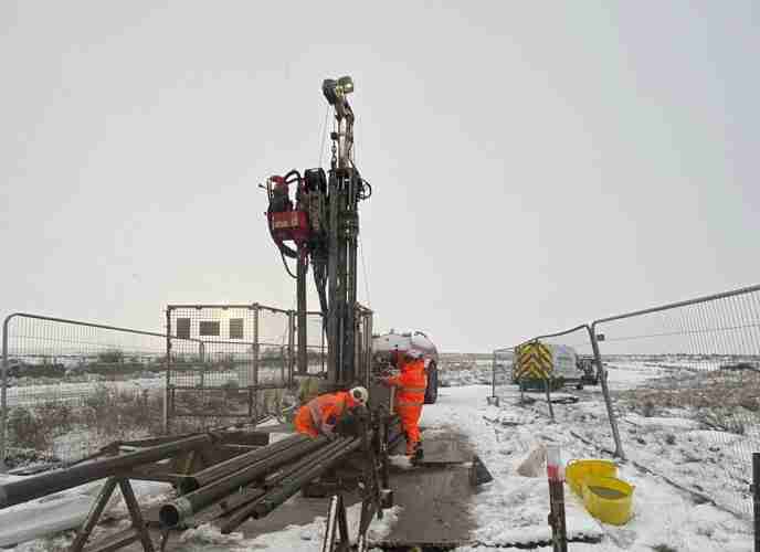
West of Orkney Windfarm

Cropthorne STW Phase 2

Grwyne Fawr Reservoir – Dam Stability Study

The Thorpe Marsh Green Energy Hub: Battery Energy Storage System

50 Fenchurch Street Ground Investigation

Elan Valley Aqueduct – Bath Coppice Tunnels
Find out more about GEL
Discover more about working with us or explore the history and values that guide everything we do.


